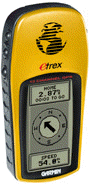
Consumer
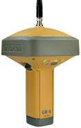
Professional
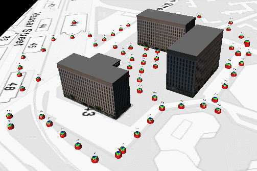
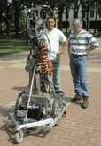
What do you do when you've found all the pre-recorded data that exists, but need more detail? There are many places for which such data (aerial, satellite, road, vegetation, structures etc.) are either too expensive, inaccurate, or unavailable.
In the perfect world, there would be a device that you simply carry around, and it would sense and measure everything and build a database automatically. Alternately, the device could be a UAV and you could collect your own data aerially.
|
Consumer |
Professional |

claims fully automatic extraction of textured 3D models from multiple photographs, using projective reconstruction, self-calibration and dense depth estimation.
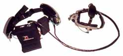
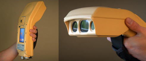
 Differential
GPS (<1 meter), high precision electronic compass, stamps every single piece of information that is recorded by the UJP
with the exact location and viewing direction from wich it was recorded
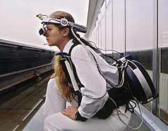
Differential
GPS (<1 meter), high precision electronic compass, stamps every single piece of information that is recorded by the UJP
with the exact location and viewing direction from wich it was recorded