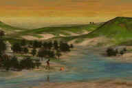
The type of terrain used in a game depends on the range of navigation
needed. Some common styles of navigation are:
- Top-down games only let you look at a downward angle, and do not
have to deal with a wide range of distances. Hither clipping and LOD is
greatly simplified or not needed.
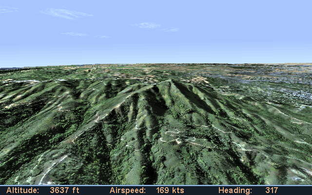
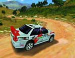
- Unconstrained ground games let you look up or down, and
get close to the surface. They must allow a wide range of distances and
levels of detail, and deal with hither clipping. Some have third-person
display modes, but allow the full navigational freedom of a 1st-person point
of view.
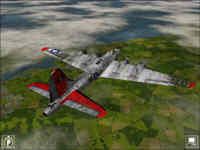
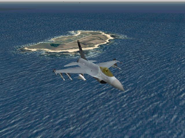
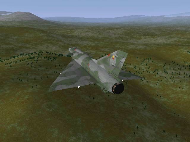
- Unconstrained air games are similar, but do not have to
deal with drawing near objects/scenery accurately.
Traditionally, each of these styles had different tradeoffs resulting in
different algorithms. More recently with the rise of powerful GPUs (2002-)
terrain rendering systems have tended to have a more unified approach which can
handle any style of navigation.
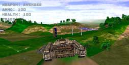 Treadmarks
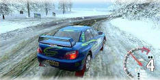
 for
PlayStation and PC, from UK developers
for
PlayStation and PC, from UK developers