Location: Japan
Software
- Japan has an large amount of online material about geospatial data, including
a large and active community of professionals and hobbyists using it, but there
is not much mutual knowledge with the rest of the world, presumably because
of the language barrier.
- For example, there are terrain visualization applications like
Kashmir and
MAPCUBE which are largely unknown outside
Japan.
Data
- There is a Japanese DEM format (.mem) used only by the main agency to distribute
their data, Geographical Survey Institute
whose products are not free and cannot be ordered online.
Places
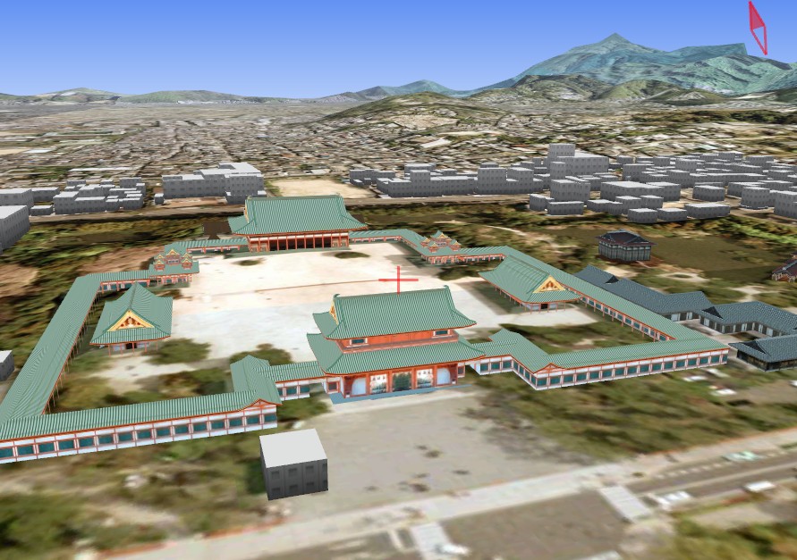
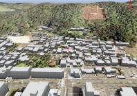
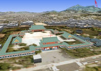
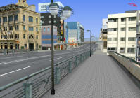
- Virtual
Kyoto is a project of Ritsumeikan University.
- Although it is Windows-only and IE-only, the paging and detail is very
impressive.
- Aerials for the whole city, extruded footprints for most buildings,
and nice models for a few landmarks and a few downtown streets and bridges
-
- It uses something called
UrbanViewer for Web which is an ActiveX control for content generated
by MAPCUBE.
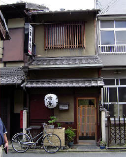
- Older Japanese buildings such as
Kyoto
Machia present an interesting challenge to
parametric building representation.