Middle East & Caucasus
< back up to International
General data sources
- LeadDog Consulting
licenses commercial data
for the Middle East; EastView does as well.
- For countries within the Russian sphere of interest, there are
historical Soviet military maps, available individually commercially
(inexpensive) from mapstor.com
- e.g. Armenia (Hayastan), Azerbaijan (Azärbaycan),
Georgia
(Sakartvelo), Jordan (Al Urdun), Kuwait, Qatar
Countries
- Iran
- Orthocoverage
Downloads includes a free sample of good data (15m greyscale image,
15m elevation) for several small areas in Iran
- Iraq
- LeadDog claims
to provides the only Iraq GIS maps in the world (commercial licensing)
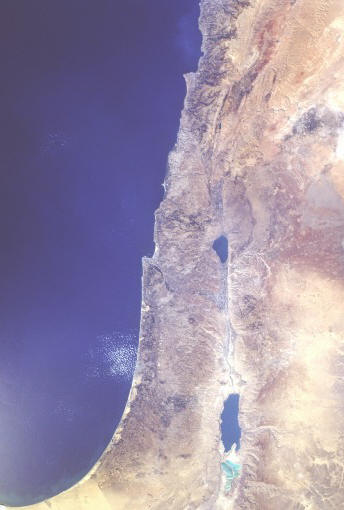
- Israel
- a nice cloud-free image of the whole region (ungeoreferenced) is the
Space Shuttle snapshot
STS41G-120-0056
- no data of any kind is likely to be made available by the Israeli government,
which has, for example, lobbied strongly to ban the sale of satellite images
of its own territory [reference]
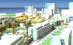
- GeoSim Systems created a
model of a part of
Ramat Gan, an area of Tel Aviv, although it's unknown who own the resulting
model
- East View Geospatial updated
their Israel offerings in Dec. 2003; it now includes 30m DEM for the whole
country for $80/quad or $3200 for the whole country
-
 Lebanon
- Saudi Arabia
- report from a recipient: "We have elevation data for
a small part of the area (currently zone1 which allows land development
with public utilities provided by the government). Other layers are also
available for some parts of the region which are not concentric or matching
exactly (these were developed by different agencies). Most of the information
is public, or semi public, but some are privately owned by a consulting
group who actually acquired the data through public avenues (very ironic
indeed). Almost all of the data is semi government organizations. Some data
is commercial but is not reliable (could not be transported) or geodetically
coordinated."
 Syria
Syria
- the Virtual Heritage Lab
of CNR-ITABC has built interactive virtual models of an archaeological site
of Urkesh (Tell Mozan), Syria
- Turkey
- reportedly, DTED 1 elevation exists
for Turkey
- better quality is not available to civilians (this is a restriction
on DEMs which is actually set in law)
- according to geomorphologist Dr. Kenan Tüfekçi,
"In Turkey,
General Commander of Mapping (Ankara) prepares the digitized contour map.
You can buy this type map from there. In case, you have the necessary software
for extracting the DTM. When I need a DEM, I am preparing from the topo
map (If interested area is small)."
- BasarSoft (Başar
Bilgisayar Sistemlerine Hoşgeldiniz) is the leading commercial
data supplier in Turkey, a partner of MapInfo
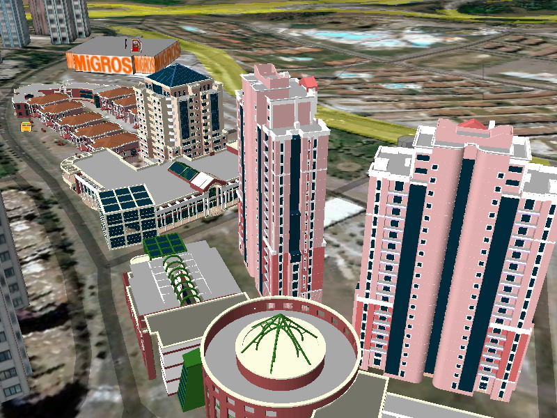
- the Turkish software CitySurf
includes nice demonstration data (including roads, buildings, imagery and
points of interest) for a part of Istanbul; their newer demo has Izmir