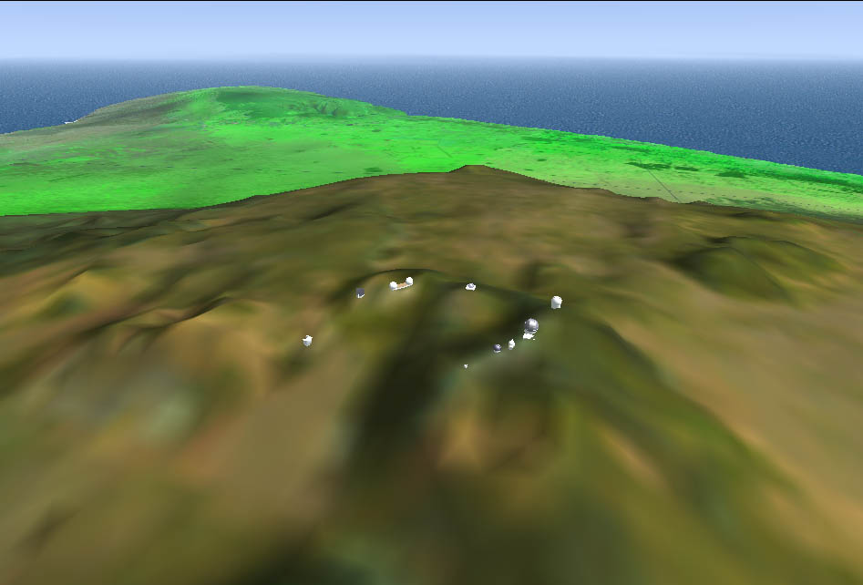
Top of Mauna Kea, with preliminary models (hand-created) of the observatories.
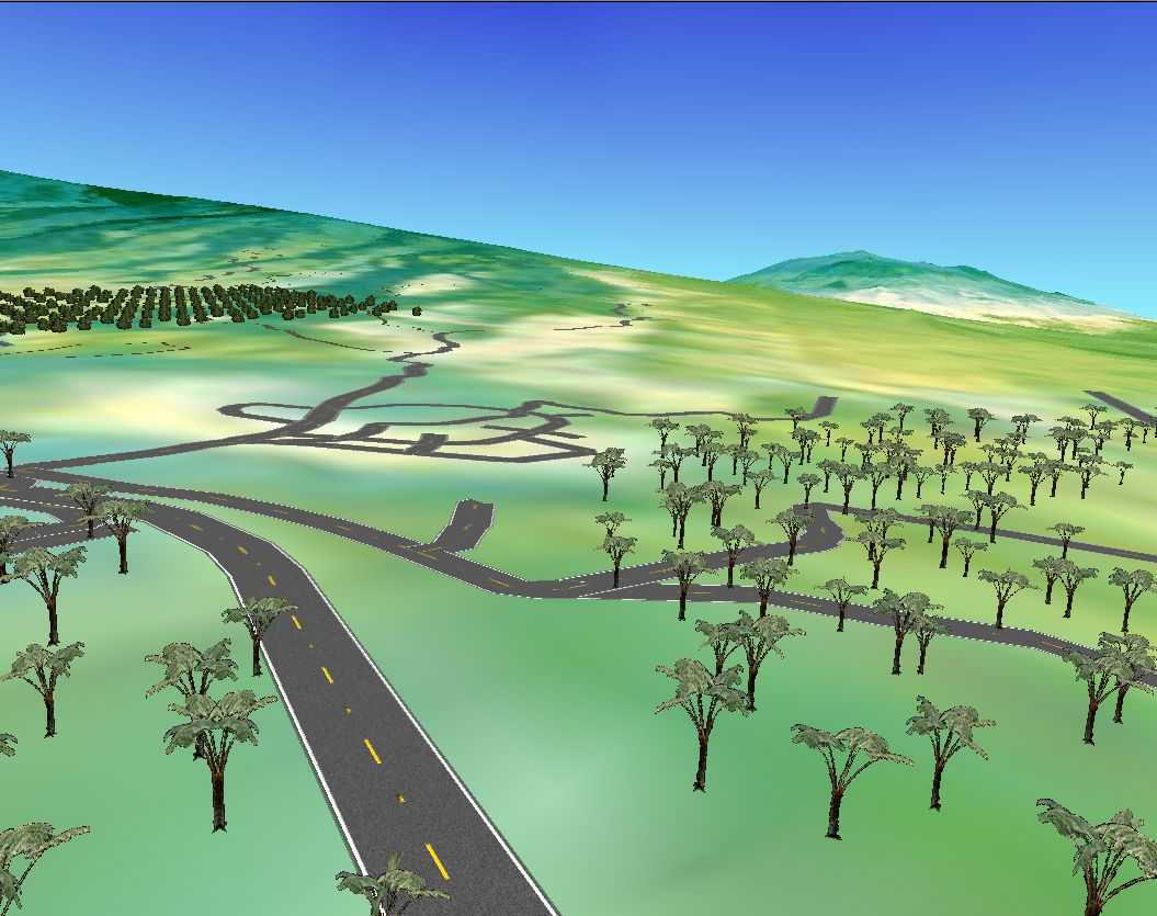
Looking West toward Waimea, with scattered trees, an experiment to derive tree locations from the satellite image.

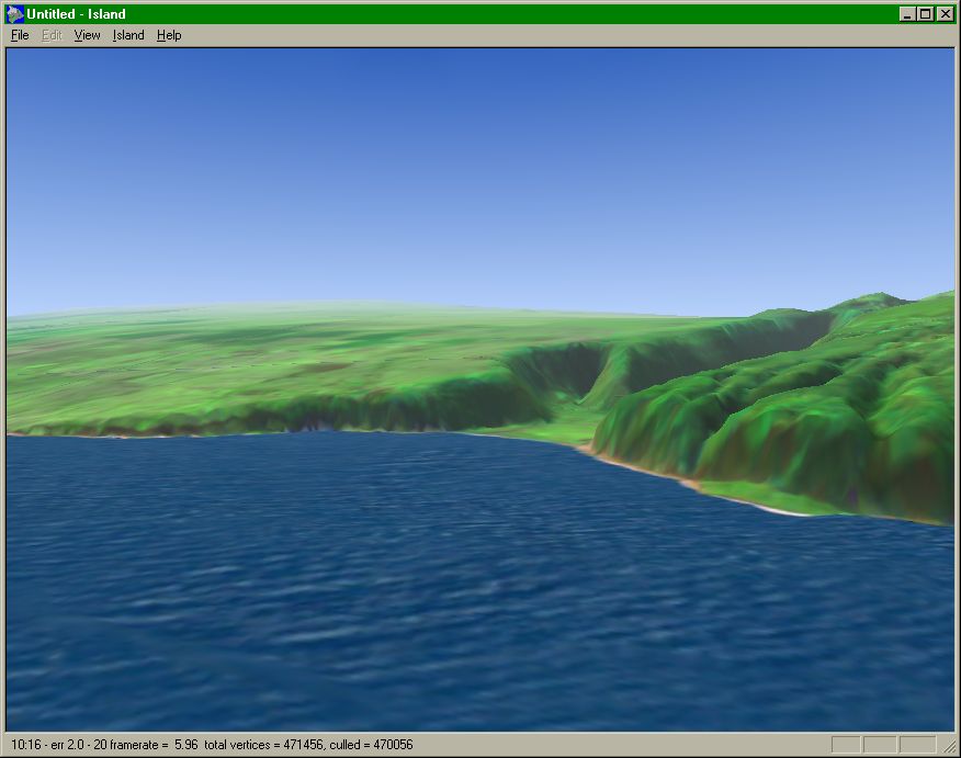
South toward the mouth of Waipi`o valley.
Finally got a texture on the ocean, though the swells are far too large.
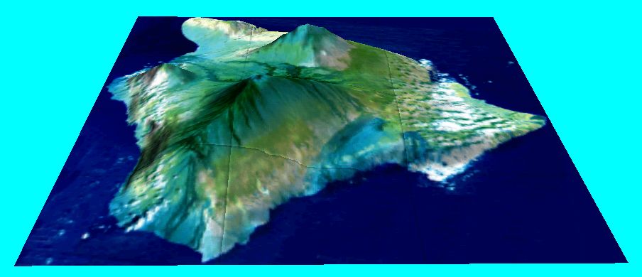
(This is the image behind the VTP website front page...)
Northwest across the Hamakua coast. The haze is fairly similar to typical levels.

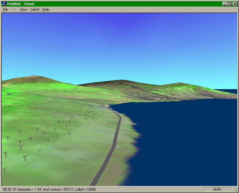
Even Older Screenshots from the Hawai`i demo... back in 1997-8 at the dawn of the VTP...
At first, i had some cruddy free satellite data that was all the wrong colors:
I added some hapu'u, macnut trees and roads (at the completely wrong scale...)
Finally i got a better surface texture
Then the trees needed improvement, so i made some additional plant textures (papaya, ohi‘a)

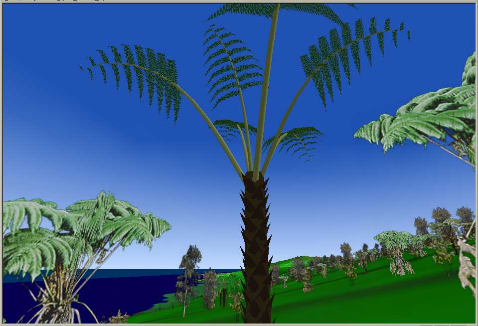
Trees: started to move from picture billboards to procedural polygonal models, although it never went past this stage..