A small file for testing: The "teapot" of terrain rendering.

The following are elevation files in BT format, compressed as ZIP files. They have been processed with VTBuilder and are ready for use with Enviro or any other program which uses elevation data, especially those that use continuous LOD. The first group of files is plain elevation, useful for testing. Some of these files are also in the VTP distribution.
| Filename | Size | Dimension | Description | Source | |
|---|---|---|---|---|---|
|
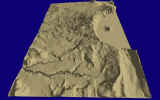
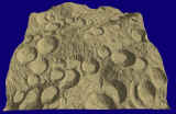
crater_0513.zip | 235 K | 513 | West half of Crater Lake, Oregon. A small file for testing: The "teapot" of terrain rendering. |
USGS DEM |
|
|
crdem_2k.zip | 2 MB | 2049 | 200m grid for entire country of Costa Rica | Data prepared by Patrick Van Laake for the Instituto Geográfico Nacional of Costa Rica, and the Food and Agriculture Organization of the United Nations. |
|
|
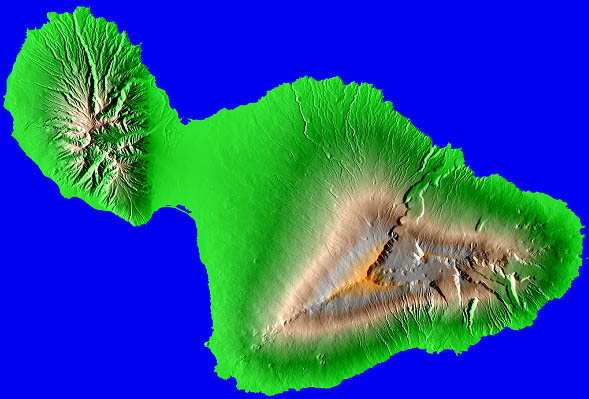
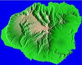
maui_1k.zip | 1.6 MB | 1025 | Island of Maui | USGS 10m DEM |
| maui_2k.zip | 6.5 MB | 2049 | USGS 10m DEM |
| Filename | Size | Dim. | Description | Source | |
|---|---|---|---|---|---|
 |
coiba_20m_2k.zip | 914 K | 2049 | Island of Coiba, 20m grid,
on the Pacific side of Panama. Imagery (coiba_ls7_2048.jpg, 606K) from LandSat7 sources. |
Compiled from old U.S. Army map sources (1:50,000 scale) by researchers at Harvard GSD. |
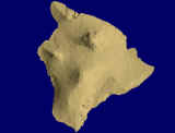 |
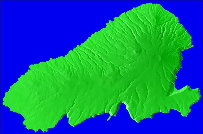
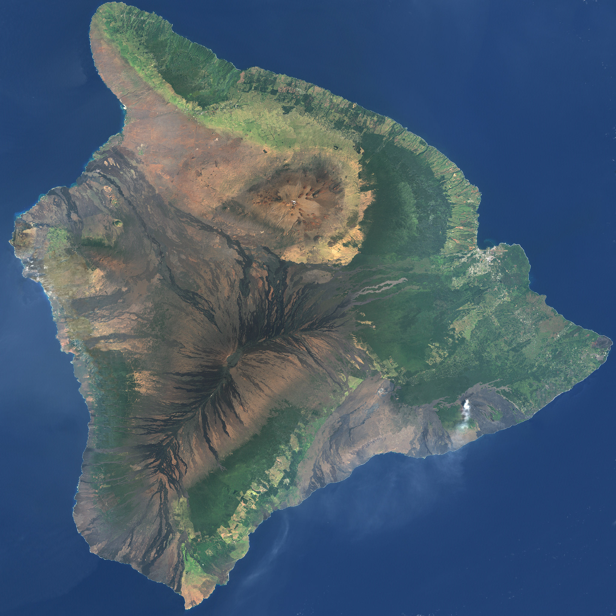
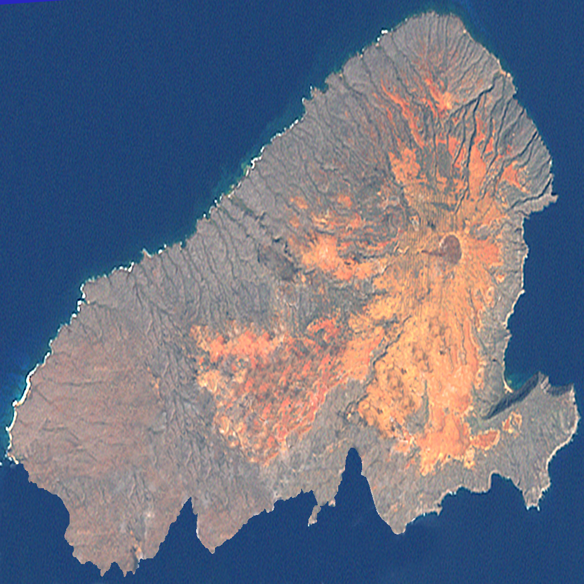
island_1k.zip | 943 K | 1025 | Island of Hawai‘i ("the Big Island"). Imagery from LandSat7 is in the VTP distribution, also online here (bigisland_ls_2048.jpg, 810K) (bigisland_ls_4093.jpg, 3.3MB) |
USGS 30m DEM |
| island_2k.zip | 3.4 MB | 2049 | USGS 30m DEM | ||
| island_4k.zip | 11.6 MB | 4096 | USGS 30m DEM | ||
| island_8k.zip | 42 MB | 8193 | USGS 10m DEM | ||
 |
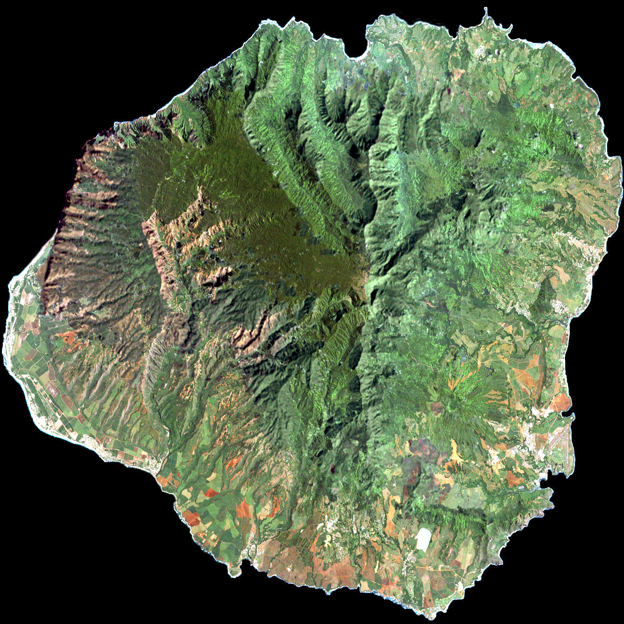
kauai_2k.zip | 9.4 MB | 2049 | Island of Kauai. Imagery (kauai_2048.jpg, 1.2 MB) from LandSat5 data compiled by Stephen Stetson. |
USGS 10m DEM |
| kauai_4k.zip | 37.3 MB | 4097 | USGS 10m DEM | ||
 |
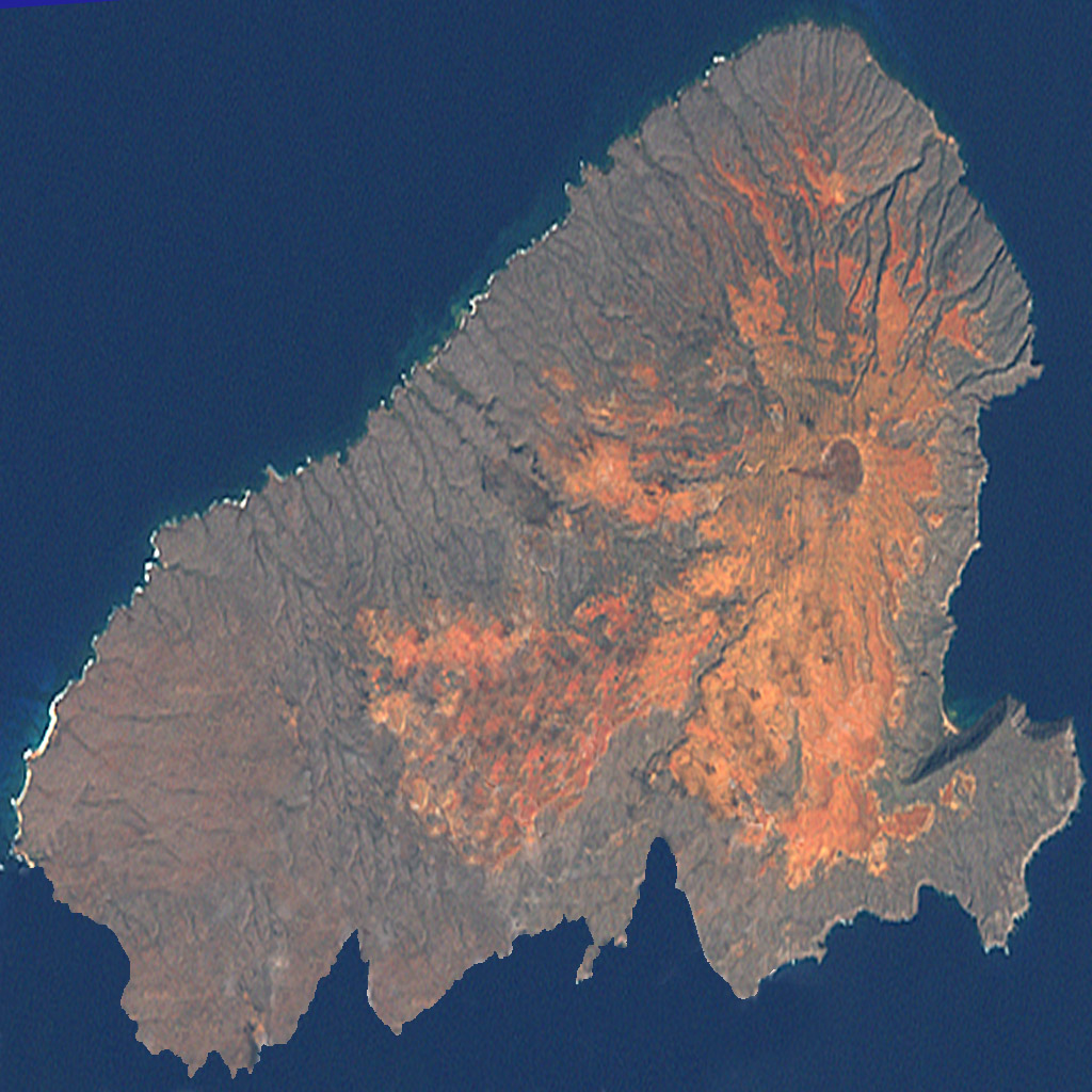
kaho_2k.zip | 5.7 MB | 2049 | Island of Kaho‘olawe. Imagery from LandSat7 sources: (kaho_1024.jpg, 280 K) (kaho_2048.jpg, 771 K) |
USGS 10m DEM |
 |
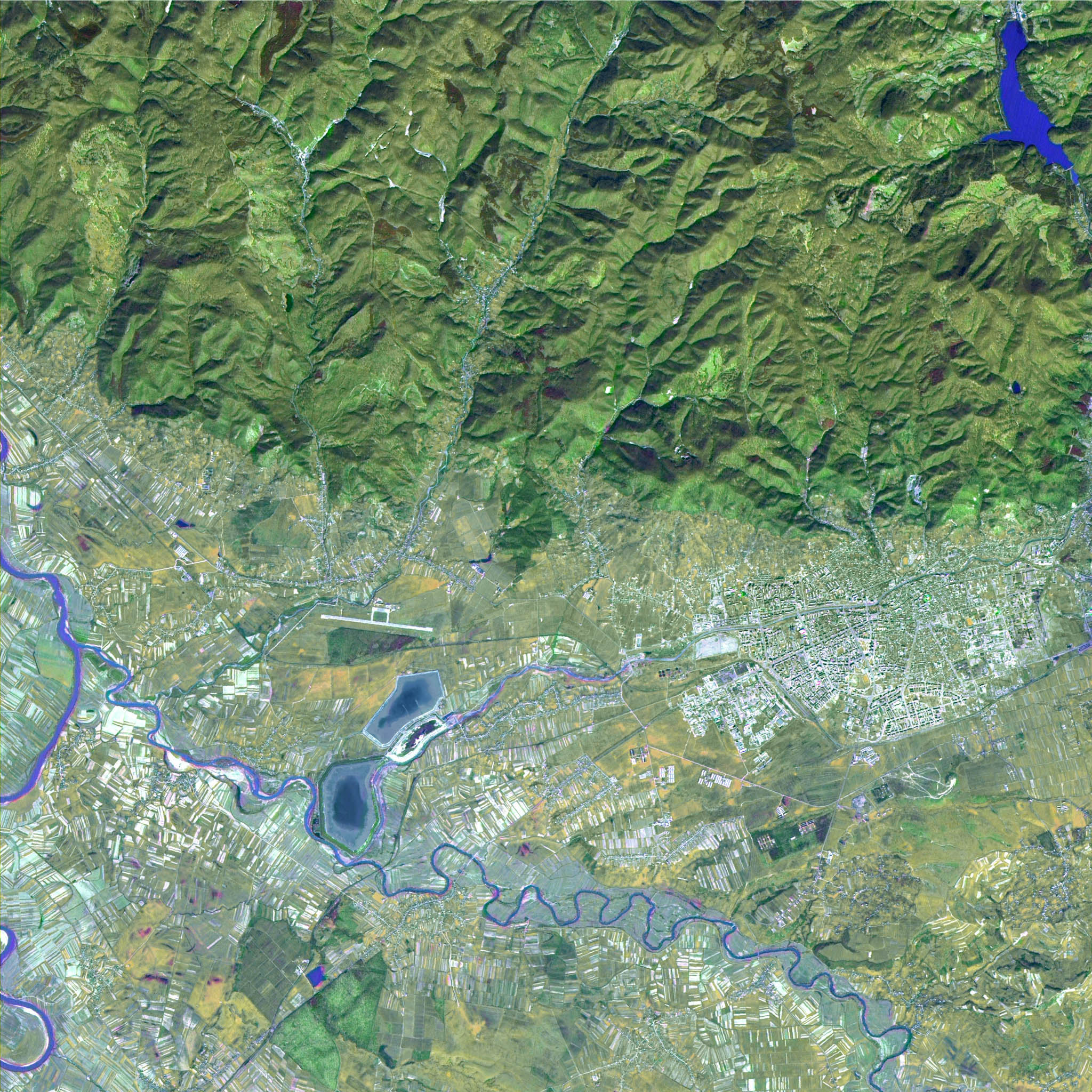
baia_mare_2k.zip | 13 MB | 2049 | Area around the city of Baia Mare, northern Transylvania, Romania. 8.5 meter grid. Imagery (baia3_v3_2048.jpg, 911K) | Produced by Remote Sensing & GIS Laboratory, National Institute of Meteorology and Hydrology, Bucharest, Romania |
 |
ratcliff_1k.zip | 517 K | 1025 | Alien terrain, contributed by game developer John Ratcliff, has a matching pre-rendered texture (840k JPEG) | artificial |
These are in VTP format, ready to be visualized in Enviro. Simply download, unzip, and add the resulting data to your data path, or drag it into your existing data path.
| Filename | Size | Dim. | Description | Source | |
|---|---|---|---|---|---|
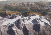 |
bugaboos.zip (torrent) / direct http |
14.6 MB | elevation 2k, imagery 4k and 8k |
Bugaboo Provincial Park, Canada, and surrounding region. Roads, point features, polygon for park boundary. | Produced by Tyler Mitchell and Will Cadell, Timberline Forest Inventory Consultants, BC, Canada. From DEM and a fused Landsat texture based on data from geobase.ca. Source data is all 100% freely available data. |
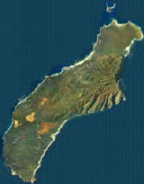 |
Niihau.zip (torrent) |
22.2 MB | elevation 4k, imagery 4k | Island of Ni‘ihau, Hawai‘i. Resolution: |
Elevation from USGS 10m DEM, processed with VTBuilder. Imagery from NOAA/NOS aerial photos, processed in Global Mapper and manually edited in PhotoShop. Original 21 GeoTIFF tiles merged and resampled from .85 m/pixel to 1.7 m/pixel, then edited to remove cloud shadows, match color spaces, and other manual cleanup. |
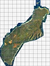 |
Niihau-1.7m.zip (torrent) / direct http |
63.8 MB | 12x16 tiles LOD0 size: Elevation 256, Imagery 1024 |
Island of Ni‘ihau, Hawai‘i. Resolution: |
Elevation from USGS 10m DEM, processed with VTBuilder. Imagery from NOAA/NOS aerial photos, processed in Global Mapper and manually edited in PhotoShop. Original 21 GeoTIFF tiles merged and resampled from .85 m/pixel to 1.7 m/pixel, then edited to remove cloud shadows, match color spaces, and other manual cleanup. |