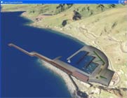
- contact Arturo R Montesinos has done work with VTP visualization of
Spain in general and the city of Gijón in particular (seaport on the Bay
of Biscay):

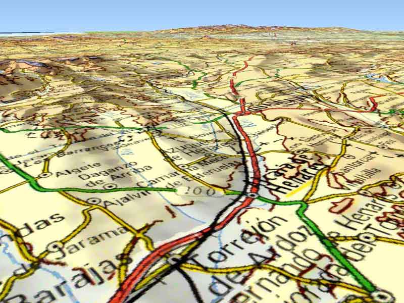
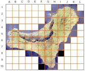
- DEMs are available at 20 meters resolution, they are owned by the Andalucía regional administration.
- Large parts of the region were modelled by company GeoVirtual, which is based in Barcelona. At one point, they were licensing parts of the region at up to 1:25k scale, for only €5 - with the restriction being their proprietary "GS" format. As of 2007, they were no longer licensing data but instead focusing on their GeoVirtual3D / GeoShow3D technologies. In 2011, it seems the company was liquidated.
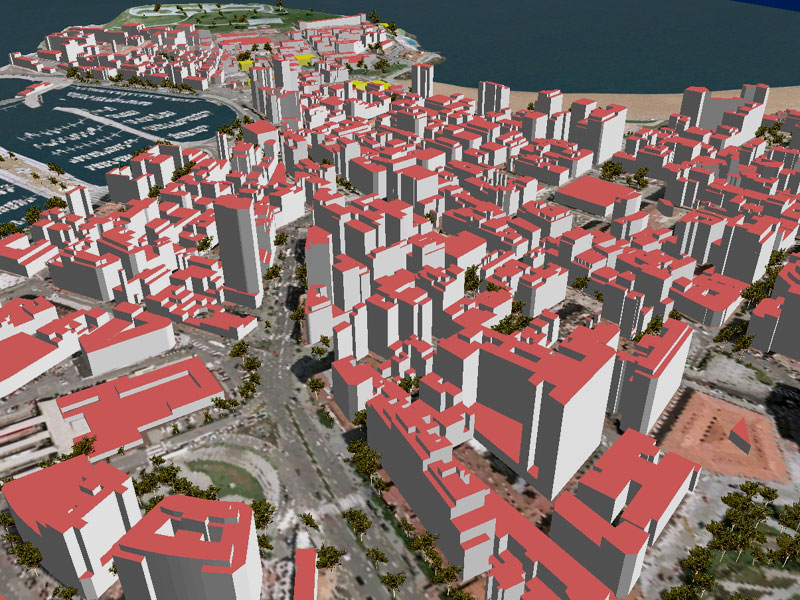
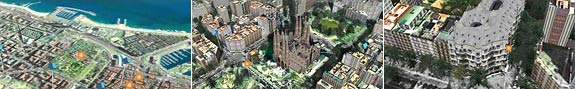
- Barcelona in 3D
- A shockwave-based virtual Barcelona, by company QDQ.
- Infoterra provided GIS Data, Archivideo made the 3D modeling and the application.
- 90,000 buildings made automatically, 30 significant buildings made by hand, vegetation, DTM, ortho at 50cm.
- The app which runs the model is nearly the same as for Pages Jaunes (see France)
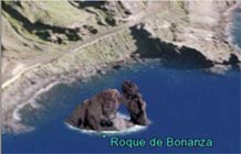
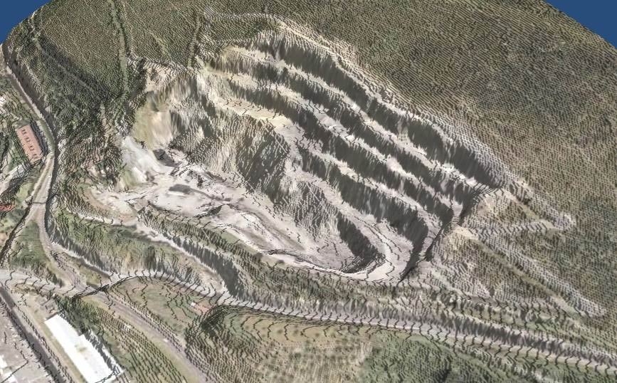
- Two images from VTP visualizations by Iñigo Marin of Vitoria,
2006-2007:

A limestone quarry near Mondragon (from lidar data)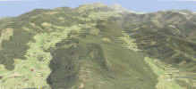
Oma valley (down right), Ereño (left front) and Nabarniz (middle back) villages near Gernika - A Sketchup/GE model of Getaria won Google's 2012 Model Your Town Competition: see Stunning models of an equally stunning town: a visit to Getaria

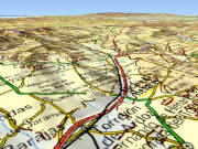
- contact: Santiago Martinez (smartinez.etra-id@etra.es) writes: "My original data is in Shape (contour polylines 20 meters). I have data for roads, urban areas, rivers and land use in Shapes and aerial photos for my study area."