New Zealand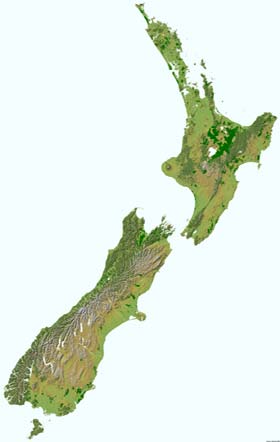
< back up to International
A good collection of starting points (November 2012) was posted at
thematic mapping blog - Mapping New Zealand - a summary.
Projection
- the most common projection used is the
New Zealand Map
Grid (NZMG)
- truly unique - "the projection is conformal, but is otherwise unlike
any other projection used for mapping."
Apps
- TUMONZ - The Ultimate Map of New
Zealand
Source Data
- GeographX has some
free data
- including DEMs down to 250m and a shaded relief w/landcover
- also have reasonably priced DEMs down to 20m
- also sell a number of interesting derived products including 3D Maps
for use with the K2Vi
3D Viewer
- The main government source for topographic and survey information is 'Land
Information New Zealand' (LINZ).
- A great website to get an idea of the kind of data coverage that is generally
available for purchase in New Zealand, but not yet often available on the web
is that of local government agency
Whangarei District
Council. Their site contains detailed topographic maps (excellent
coverage from the main New Zealand 1:50,000 scale map series), LandSat satellite
imagery, aerial photography of towns and cadastral maps for a good portion of
northern New Zealand.
- The New Zealand Ministry for the
Environment is currently working on a land environments classification project
to map the environmental characteristics of the country. The web site for this
project has some mapping available now, with more detailed information in the
future.
- Toaster NZ
- standalone application for browsing a collection of NZ topo maps and
aerials photos
- not 3D, but potentially a convenient way to get geospecific images for
draping
- costs NZ$100 to $630 depending on resolution, coverage, and other options
- Landcare Research hold
and publish masses of environmental data and maps on the New Zealand environment,
which can be obtained through their websites, though not much data is available
online. The company also receives color NOAA satellite images ( from NOAA-12,
NOAA-14, NOAA-16 and NOAA-17) and uploads them two or three times a day on
this website.
This primarily provides weather information, but when the daytime images are
not too cloudy a certain amount of landcover detail is visible.
- The Institute of Geological and Nuclear
Sciences produces geological maps for New Zealand, but while their website
has some interesting information on several topics (especially volcanoes) there
is not a lot of mapping data available online yet.
-
StreetCam3D
- In 2012, Wellington mapping company Terralink announced they would
scan all New Zealand streets over the next two years. using a truck with
LIDAR "capable of recording the position and appearance of every object
within 100 meters with pinpoint accuracy".
- The plan is to capture the full 126,000 kilometres of roads,
starting with the major cities.
Derived Data
- The Auckland Regional Council website has a five 'fly-through'
VRML views of Auckland volcanoes (using Cosmo Player 2.1.1)
- The New Zealand GeographyNetwork
is/was an ArcIMS server providing image-based browsing of landcover and roads for
the whole country (seems to be offline in 2011)
Cities: Christchurch
- Australian company AEROMetrex/aero3Dpro
announced in February 2013 a detailed 3D model of part of Christchurch (video),
produced mainly from air and ground-based photogrammetry.
Cities: Auckland
- As of 2007, Auckland has a ''Digital Auckland' initiative to attempt to
(1) make good broadband widely available and (2) expand people's ability to
access (and visualize) digital city data
- "Auckland City Council member
Richard Simpson's vision is to create a world-leading "geospatially indexed"
web portal for council data and other information about Auckland. The idea revolves
around the type of technology initiatives embraced by delegates at last year's
international Digital Earth summit, held in Auckland."
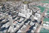
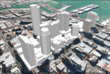
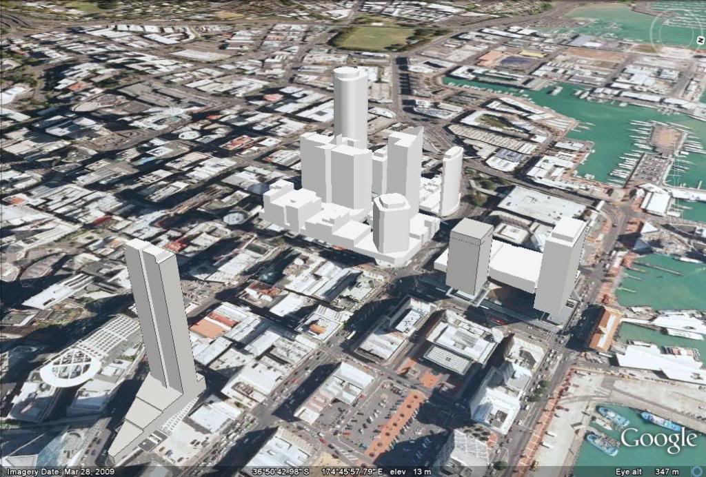
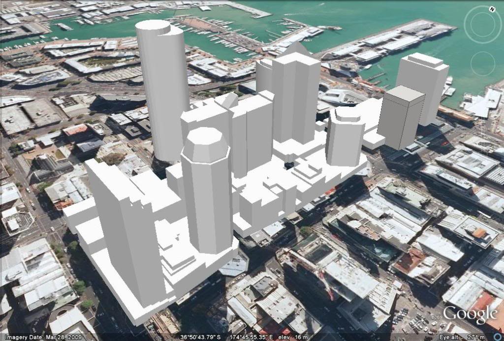
- Joel Wilson in Auckland had a
project to model the Auckland CBD (downtown).
- As of March 2010, he was working with SketchUp to produce models that
will display in Google Earth. The design goal is to "give a
roughly accurate impression of the Auckland skyline."
-