The following are publicly available commercial software which leverage the
VTP applications and/or libraries. Several additional packages using the
VTP are not included here since they are either classified, being used internally
in organizations, or the company has not given permission to reveal their use
of the VTP.
 |
Virtual Outlooks
Ltd. - Environ Suite
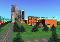
- The Environ Suite of programmes
is designed for the creation and viewing of 3D digital terrain models.
These models are geographically and architecturally accurate, and
can contain features of both the natural and built environment.
- Built on the VTP software, extended with advanced features like
Visual Impact, Light Occlusion, and back end server links.
|
 |
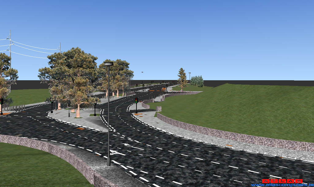
Atlas (Ireland) -
SCC View
- A viewer, built on vtosg, provides a realtime 3D extension to
the power of Atlas Computer Ltd.'s Survey Control Center geomatics
software.
- The viewer uses many of vtlib's features, including TINs with
multiple textures, vegetation and linear features, 3D model
instances, etc.
|
 |
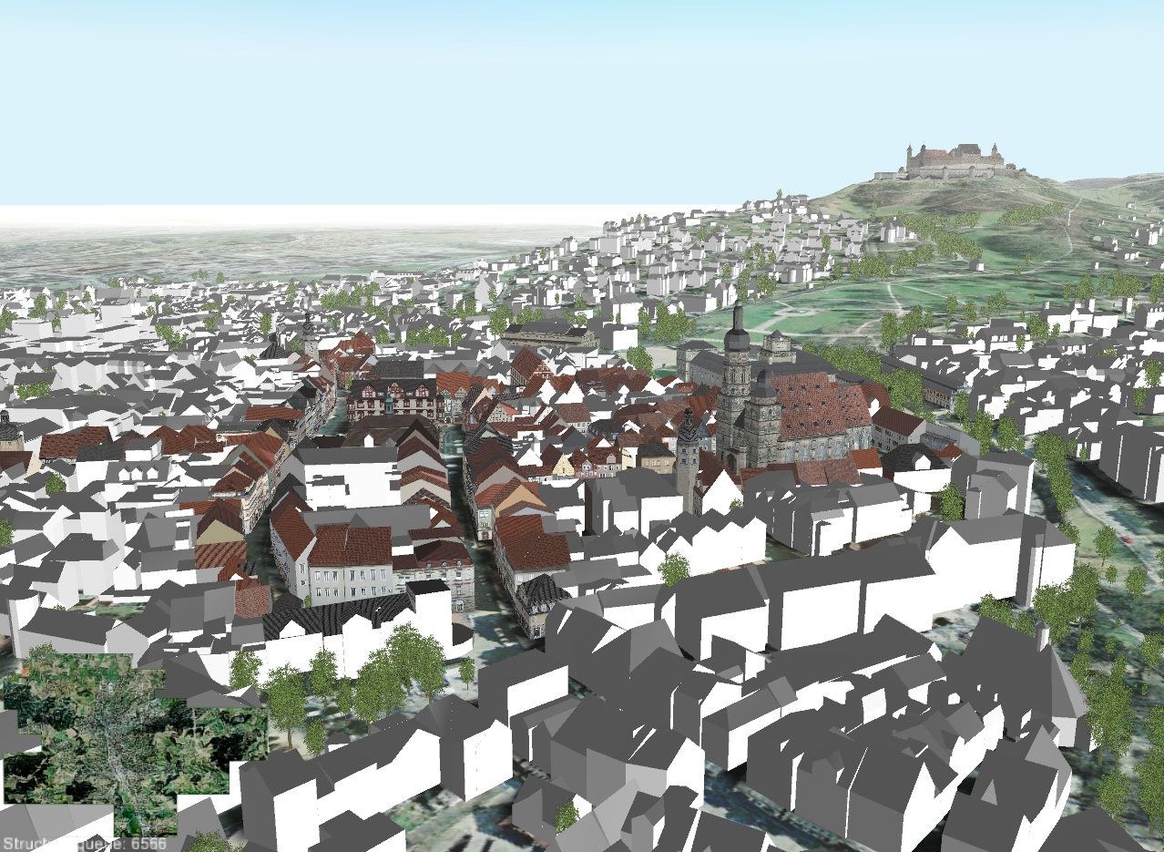
GTA Geoinformatik
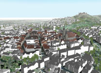
- tridicon CityDiscoverer
- GTA-geo's city-modelling suite of software includes a
runtime visualization component called CityDiscoverer which is built
on VTP Enviro, with several powerful additions including CityGML
import.
- Their primary business is rapid, efficient creation of detailed city
models, see City
Modelling: Consulting and Services
|
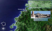 |
MicroApp -
Ecran de Ville France 3D
- inexpensive application for 3D flight over France, either user-navigated
or as a screensaver, for education or tourism
- dynamically updated information on more than 300 cities shown
as popups, and background music
|
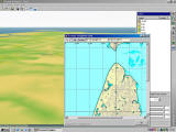 |
Sail Simulator Scenery
Designer Toolkit (€30)
- Bundles VTBuilder
which aids users of the Sail Simulator software in bringing real-world
elevation data from a large number of file formats into their attractive
simulation environment.
|
 |
GeoSynergy GIS
consulting, Australia
- Custom spatial information environments, built on the VTP
software.
|
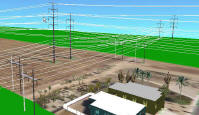 |
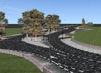
High-end engineering
software for transmission lines
- As of April 2002, includes a 3D visualization capability which
uses vtlib, and an elevation
tool which is an extended subset of
VTBuilder.
- Extensive use of the transmission line capabilities of vtlib.
|
 |
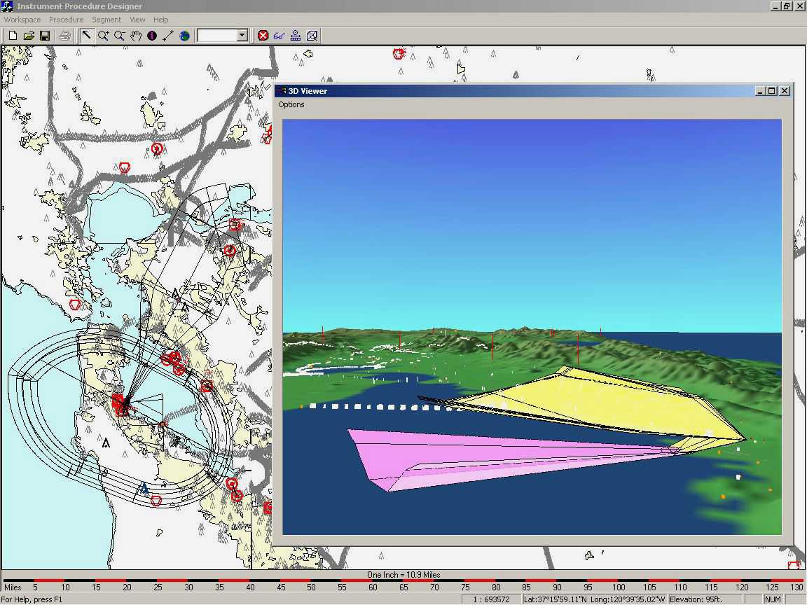
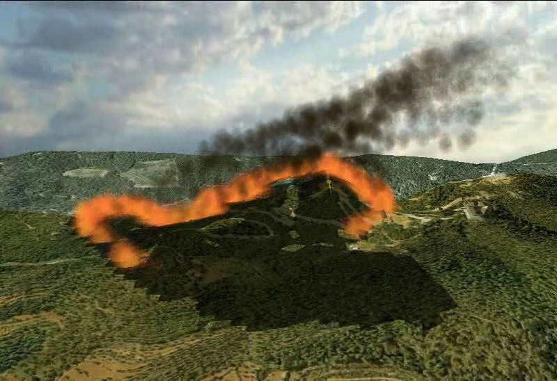
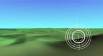
MDA Flight Path Safety System AFTERPS-R
- (news
release from May 2004)
- now in use by the United States Air Force (USAF).
vtlib enables a 3D view to complement
the application which "ensures that arrival and departure procedures
used by pilots and air traffic controllers take into account essential
land information such as terrain hazards and /or man-made obstacles."
|
 |
UtopikA -
HorizoN Product Line
- A Portuguese software company with a complete product line of Virtual
Terrain software solutions, based primarily on the VTP software.
- They provide some extensions, including adding aircraft to
Enviro and additional layer
types to VTBuilder, and
commercial support
- Here is how the VTP software maps onto their products:
| VTP Name |
UtopikA Name |
Price |
| Enviro (Terrain View) |
HorizoN Runtime |
free |
| feature: add and edit objects |
HorizoN Runtime Editor |
€2000 + €500 support
|
| feature: add vegetation |
Eco HorizoN |
"contact us" |
| Enviro (Earth View) |
Earth HorizoN |
€1000 + €250 support |
| VTBuilder |
HorizoN Creator |
€7500 + €1000
support |
| CManager |
HorizoN Object Manager
|
€2000 + €250 support |
| vtlib / vtdata |
HorizoN SDK |
€15000 + €2500 support
+ €500/seat royalties
+ €2000/year "developer program" |
|
| |
As of July 2004, a major vendor of earth-work estimating software (who chooses
to remain anonymous) is using vtlib to provide
an interactive 3D view of cut/fill operations.
|